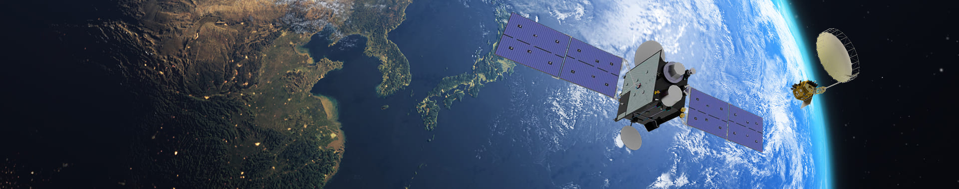
Characteristics of Scientific and SAR Satellites
-
 Optical Optical satellites : Observation in the visible spectrum (RGB, etc.)
 -
 SAR SAR satellites: Measurement of radar backscatter from transmitted signals
 -
 Tonle Sap Lake, Cambodia Monitoring Tonle Sap Lake in Cambodia
Observation Range of Water Resources Satellites
- (Peninsula Observation) The satellite orbits the Earth in a polar (sun-synchronous) orbit at an altitude of 561 km and images the Korean Peninsula twice a day. *Full coverage of the peninsula can be obtained after three days of imaging.
- (Global Observation) The satellite can monitor key strategic countries overseas, including in Asia, Africa, and South America. *It can cover more than 65% of major countries in Southeast Asia, Africa, and South America.
-
 Korean Peninsula Observation Range
 -
 Global Observation Range
Impact and Expected Effects
| Proactive Water Management | Enables proactive and continuous, year-round, wide-area monitoring of water resources and water-related disasters. |
|---|---|
| International Cooperation | Establishes cooperative frameworks with international organizations for water-disaster response and supports expansion into strategic overseas water markets. |
| Advanced Technology | Secures advanced digital observation technologies by integrating ICT, satellites, and AI. |
| New Space | Expands industry–academia–research R&D and private-sector participation to strengthen the industrial base and support and train specialized personnel. |
Roadmap

Implementation Goals
2026 Year
 Develop the first K-water satellite
2027 Year
 Operate water resources satellites in an integrated manner
2029 Year
 Establish a water-disaster satellite system